


Experience the power of geospatial insights through drone data from Globhe.
Our industry leading platform have the information you need to make informed decisions faster and easier than ever before. With our vast library of drone data, you can monitor areas of interest, verify ground information, and identify trends that matter to your organization. Globhe helps you stay ahead of the curve, to make the right decisions at the right time.
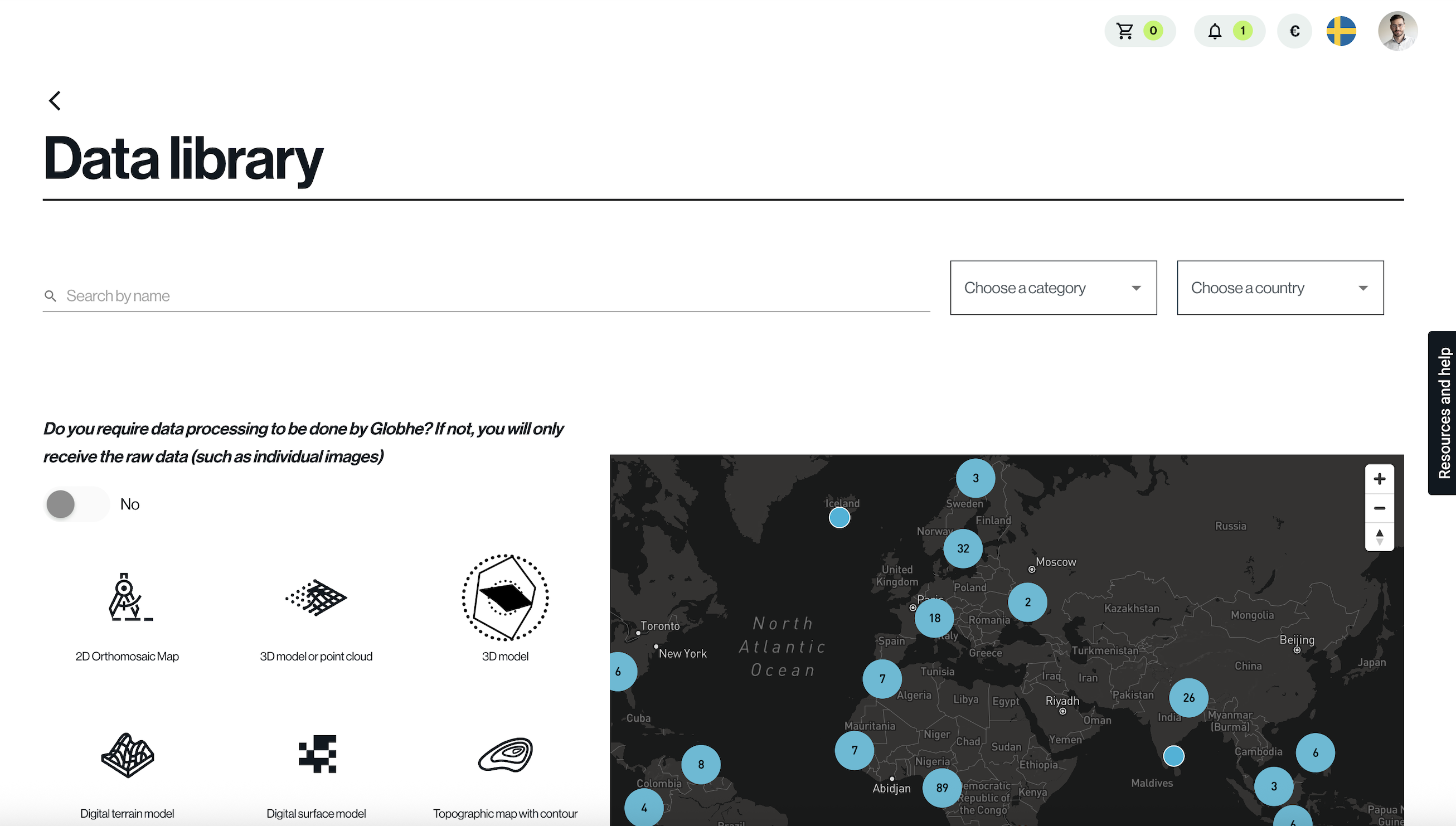
Globhe archive - a living dataset of global change
At Globhe, we don't just collect drone data—we revolutionize it. With a massive network of over 11,000 drone operators in 146 countries, we offer an unprecedented dataset of earth observation imagery.
Our unique combination of unrivaled coverage and ultra high resolution delivers geospatial insights empowering you to make better decisions.
Globhe gives you the most comprehensive, accurate, and up-to-date understanding of changing conditions.
Get started now

Book a demo
Get some facetime with our experts, and take a closer look at our marketplace. Learn how to leverage our platform to get better pricing, standardize data collection and make your order management more effective.
AI and ML
with drone data
Free data samples
Our operators have captured every continent, even Antarctica.
We offer some free examples to provide you with an understanding of the insights drone data provide.
Example use cases
Machine Learning for Artificial Intelligence
Use our library of drone images to train your algorithms.
Change detection
Monitor change over time and make the right decisions.
Drone images for publications & journalism
Looking for images of a certain area for your publication? We license individual images as well, supporting local drone operators.
